Easy · H01
Coliving to Semkovo Hut
1 hour walking
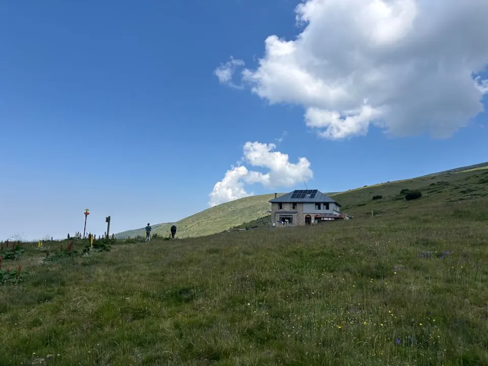
2.9 km · ↑ 160 m · Return walk
From Coliving Semkovo
A first forest walk; gentle pace and basic walking fitness.
View route and mapFrom the spruce forest to Rila’s lakes and ridges. Find a walk for your time, fitness and the day’s weather.
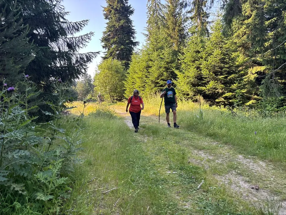
Times use the upper end of the guide’s allowance and exclude long stops. These filters cover the nine mapped day hikes. Eco-trails and longer mountain journeys have their own guides below.
9 routes
Easy · H01
1 hour walking
2.9 km · ↑ 160 m · Return walk
From Coliving Semkovo
A first forest walk; gentle pace and basic walking fitness.
View route and mapMedium · H02
4–6 hours
9.9 km · ↑ 540 m · Return walk
From Coliving Semkovo
Regular walkers comfortable with a steep forest climb.
View route and mapExperienced · H03
6–7 hours
15.4 km · ↑ 750 m · Return walk
From Coliving Semkovo
Fit hillwalkers with a full day and mountain navigation skills.
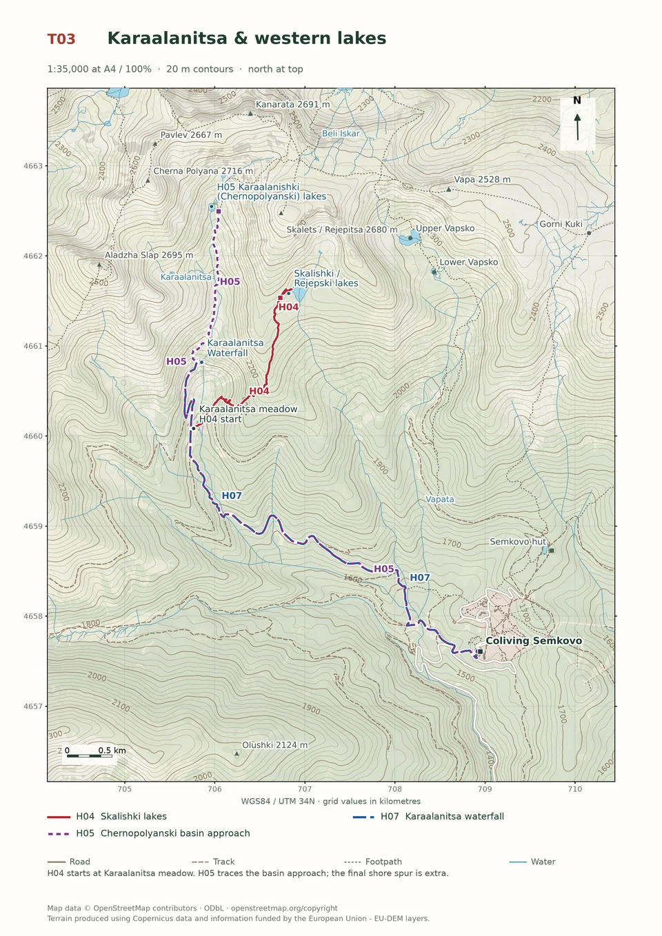
View route and mapExperienced · H04
3½–4 hours; access extra
6.1 km · ↑ 520 m · Return walk
From Karaalanitsa meadow · transport to the start
Confident mountain walkers on steep, faint paths; road access is extra.
View route and mapExperienced · H05
7–9 hours
17.5 km + shore spur · ↑ 870 m · Return walk
From Coliving Semkovo
Confident route-finders on rough ground and dwarf-pine paths.
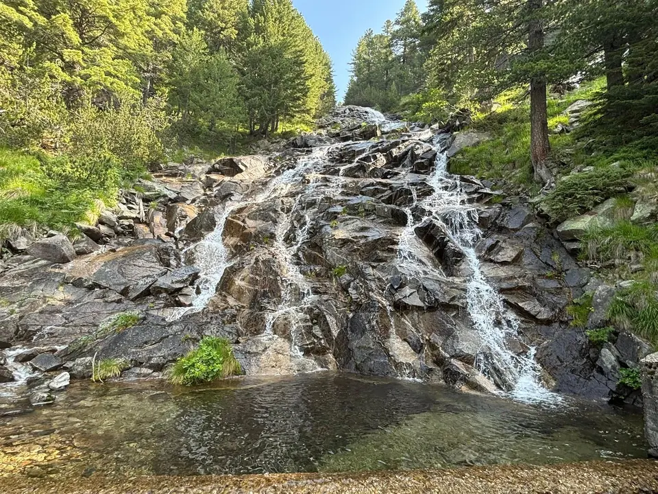
View route and mapMedium · H07
Around 5 hours walking
13.6 km · ↑ 570 m · Return walk
From Coliving Semkovo
Regular walkers who can sustain a five-hour forest-road day.
View route and mapMedium · H06
2½–3 hours
9.4 km · ↑ 350 m · One way
From Coliving Semkovo
Regular walkers comfortable with a long descent; arrange a pickup.
View route and mapExperienced · H08
6–8 hours
16.7 km · ↑ 800 m · Return walk
From Coliving Semkovo
Fit hillwalkers able to manage a long day and steep final climb.
View route and mapExpert · H09
7–8 hours at a strong, steady pace
20.9 km · ↑ 1210 m · Loop
From Coliving Semkovo
Strong mountain walkers with exposed-ridge and navigation experience.
View route and mapNo mapped routes match these filters. Try more time, another level or reset the filters. You can also browse the eco-trails and longer mountain journeys.
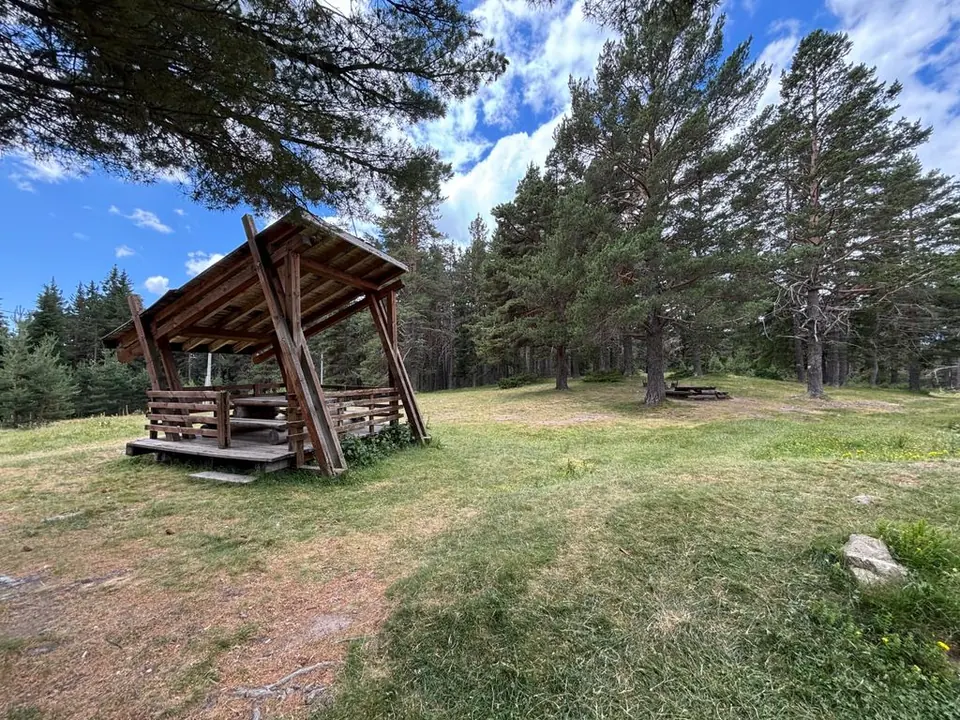
Panoramata, Kriva Ela and the Vasyovets–Suho Selo circuit.
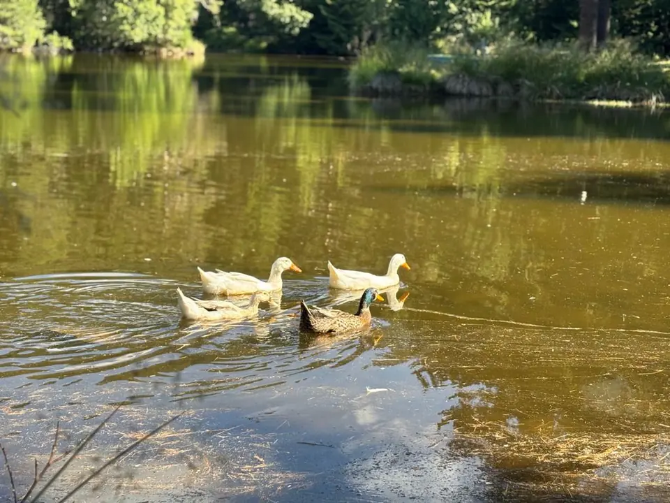
Ancient woodland, peat bogs and lakes, reached along six named trails.
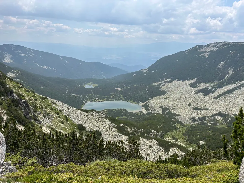
Peaks, hut traverses, remote lakes and the full directory of 27 traditional destinations.
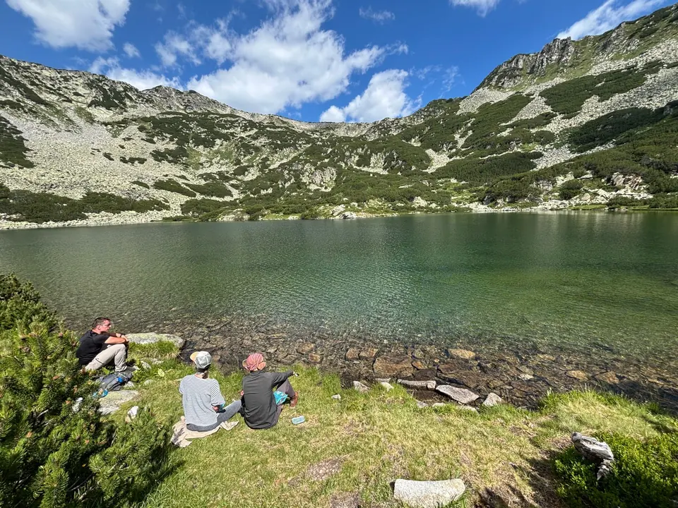
The first walk can take an hour; the next can take you into the heart of Rila. Start among the resort's spruce and pine, climb through dwarf-pine scrub and suddenly the landscape opens into lakes, boulder slopes and long, bare ridges. Give the mountain your best weather day. A picnic at the upper Vapsko Lake is a much better appointment than a hurried summit in cloud.
Coliving is home base. Unless a card says otherwise, its day starts and ends at the apartments. Semkovo Hut stands farther uphill and is a separate trailhead, at 42.05263° N, 23.53433° E. Where both Coliving and hut options appear, use the complete figures for your chosen start: the paths differ, so the distances are not pieces to add together. Walking times exclude a long lunch, a park visit and transport.
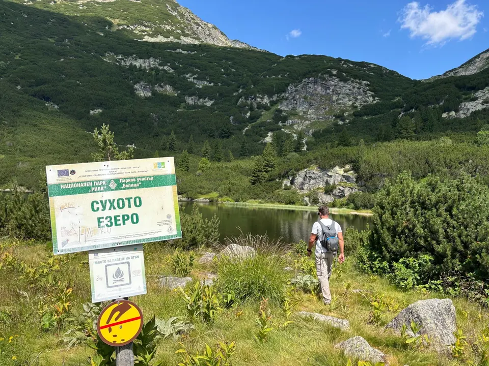
For a first outing, choose H01 to the hut. Suhoto is the natural next step; Vapski asks for more stamina and more time above the trees. Skalishki begins at a distant meadow, while the ridge walks and remote lakes need a full mountain plan. Carry food, water, warm and waterproof layers, a charged phone and a map you can use without reception. Leave your route and expected return with someone at Coliving. These are summer walking routes; lingering snow can change them completely.
Choose your level. Easy suits first walks on straightforward paths. Medium asks for regular walking fitness and confidence on steeper or rougher ground. Experienced means a fit, self-sufficient mountain walker who can navigate faint paths and manage a long day. Expert is for strong mountain walkers with exposed-ridge experience and reliable navigation. Grades describe dry summer conditions; snow and ice change the task.
Reading the profiles. The horizontal axis is distance along the mapped route; the vertical axis is height above sea level. Return walks include both legs, circuits start at their stated trailhead, and H06 ends at Bear Park. Heights come from a terrain model, so small rises and total climbing can differ from a GPS recording.
Distances are return totals unless marked one way. Allow time for stops as well as the walking itself.
| Walk | Distance and time | Level | Map |
|---|---|---|---|
| H01 · Semkovo Hut | 3 km · 1 hour | Easy | T01 |
| H02 · Suhoto Lake | Around 10 km · 4–6 hours | Medium | T01 |
| H03 · Vapski Lakes | 15–15.5 km · 6–7 hours | Experienced | T02 |
| H04 · Skalishki Lakes | 6.1 km from Karaalanitsa meadow · 3½–4 hours; access extra | Experienced | T03 |
| H05 · Chernopolyanski Lakes | Around 18 km plus shore visits · 7–9 hours | Experienced | T03 |
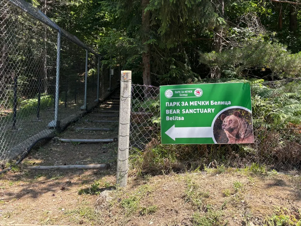
| H06 · Bear Park | 9.5–10 km one way · 2½–3 hours; pickup | Medium | T06 |
| H07 · Karaalanitsa Waterfall | Around 14 km · 5 hours | Medium | T03 |
| H08 · Macedonia Hut | Around 17 km · 6–8 hours | Experienced | T04 |
| H09 · Kanarata circuit | Around 21 km · 7–8 hours at a strong pace | Expert | T05 |