Experienced · H08
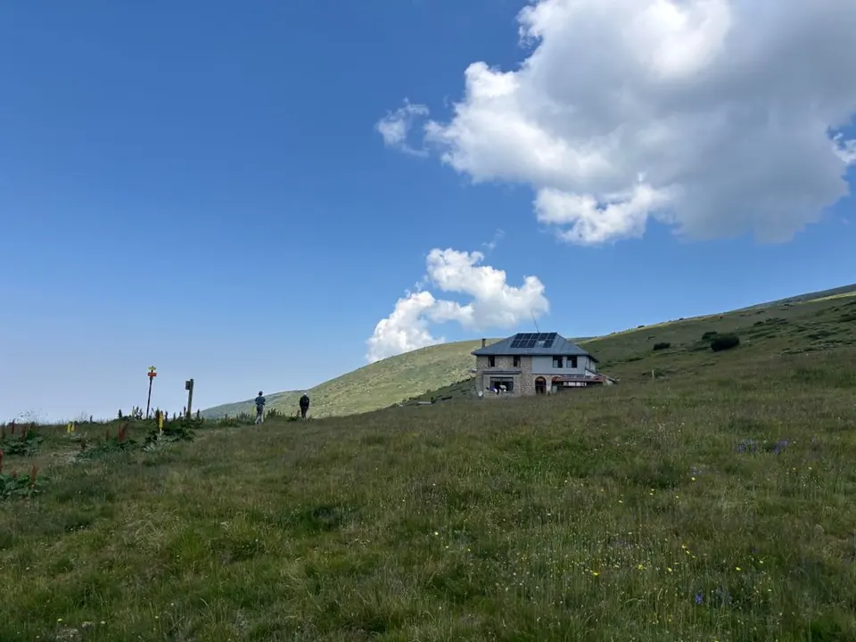
Macedonia / Makedonia Hut
6–8 hours
16.7 km · ↑ 800 m · Return walk
From Coliving Semkovo
Fit hillwalkers able to manage a long day and steep final climb.
View route and mapFollow forest roads to Karaalanitsa meadow and climb into the Chernopolyanski basin, with extra shore paths beyond the mapped approach.
Confident route-finders on rough ground and dwarf-pine paths.
Follow the line marked H05. Return walk.

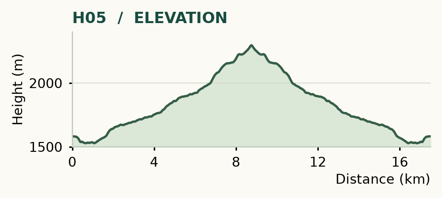
Distance and ascent above follow the mapped route using terrain-model heights. Elevation: 1528–2296 m. Lakeshore spurs are additional.
Start/finish: Coliving Semkovo. About 18 km return, plus the lakeshore visits · roughly 870 m ascent · allow 7–9 hours. The map and profile follow the Karaalanitsa meadow approach to the path east of the lower lake; the final shore spur is additional.
Mapped profile: 17.51 km, 870 m terrain-model ascent. Original guide estimate: about 18 km return plus the lakeshore visits, roughly 870 m ascent. The mapped line returns from the path east of the lower lake; the final shore spur and visits to the lakes are additional.
Mapped basin approach & return · shore spur extra. Rounded labels on the original map or profile may differ slightly. The original guide estimates are retained here for comparison; use the full figures for your chosen starting point.
Who it’s for: Experienced. Confident route-finders on rough ground and dwarf-pine paths.
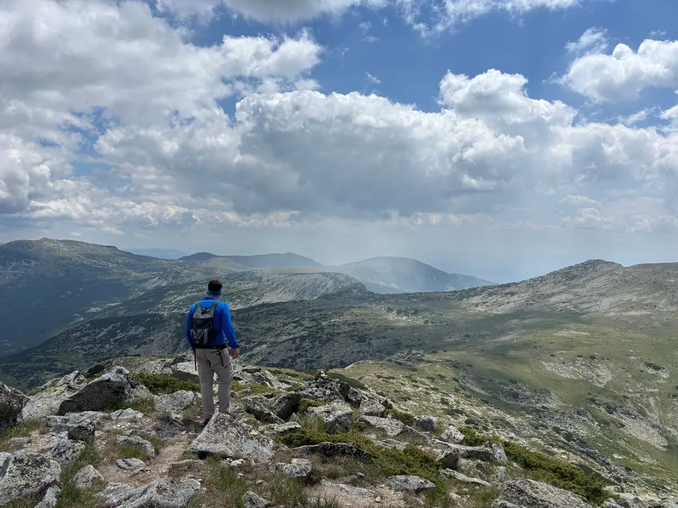
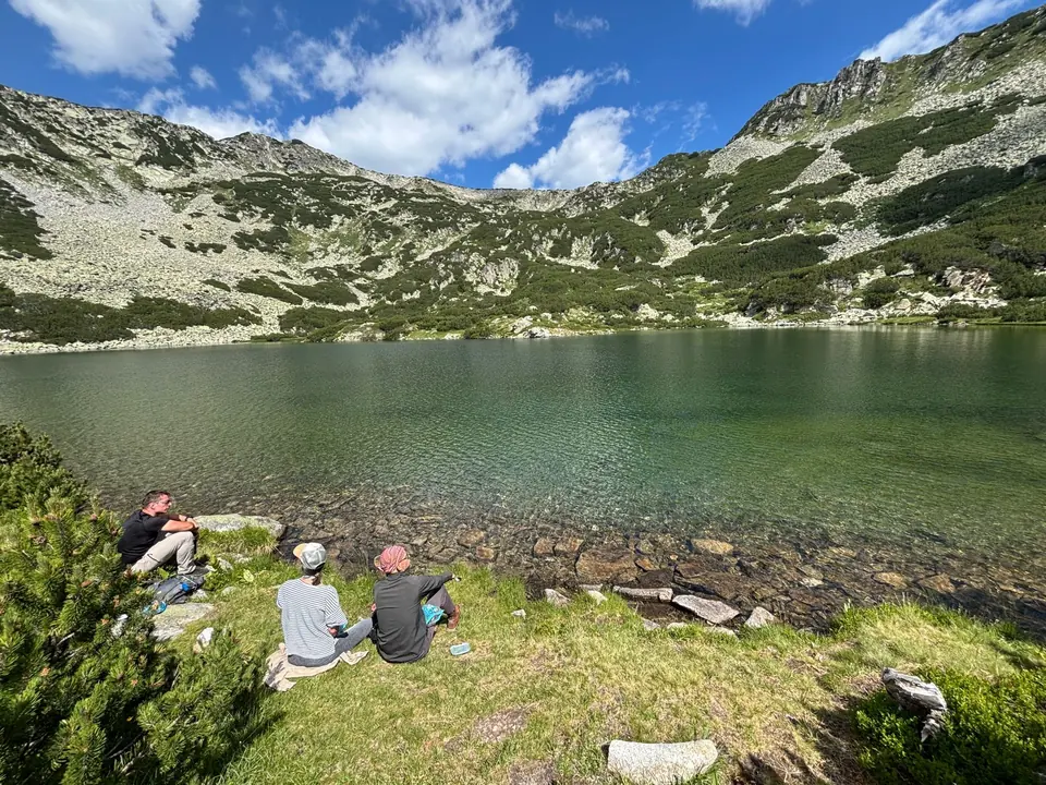
These western lakes reward a quieter kind of ambition. The larger lake comes first, round and open; the smaller lies about 10 minutes farther on, tucked among rocks. The names Chernopolyanski and Karaalanishki refer to the same lake basin.
The way: follow the forest-road approach west to Karaalanitsa meadow, as for H07. Continue towards the water intake, where the lake path begins about 20 m to its left. Climb through meadow and dwarf pine into the basin. The highlighted line stops on the mapped path east of the larger, lower lake; take the local shore path to the water, then continue about 10 minutes to the smaller lake. Retrace the same approach. Another access route runs through Semkovo Hut → Vapa canton → the waterworks track → Karaalanitsa; its distance is different.
The approach choice matters: settle it before leaving, and use a local guide if these upper junctions are unfamiliar. A much bigger circuit links Semkovo → Vapski → Kanarata sector → Karaalanishki → Semkovo: 23.03 km, 1,133 m ascent and about 10 hours. That is a separate hard day, and it does not necessarily visit Kanarata's summit.
Experienced · H08
6–8 hours
16.7 km · ↑ 800 m · Return walk
From Coliving Semkovo
Fit hillwalkers able to manage a long day and steep final climb.
View route and mapExpert · H09
7–8 hours at a strong, steady pace
20.9 km · ↑ 1210 m · Loop
From Coliving Semkovo
Strong mountain walkers with exposed-ridge and navigation experience.
View route and mapExperienced · H03
6–7 hours
15.4 km · ↑ 750 m · Return walk
From Coliving Semkovo
Fit hillwalkers with a full day and mountain navigation skills.
View route and map