Experienced · H08
Macedonia / Makedonia Hut
6–8 hours
16.7 km · ↑ 800 m · Return walk
From Coliving Semkovo
Fit hillwalkers able to manage a long day and steep final climb.
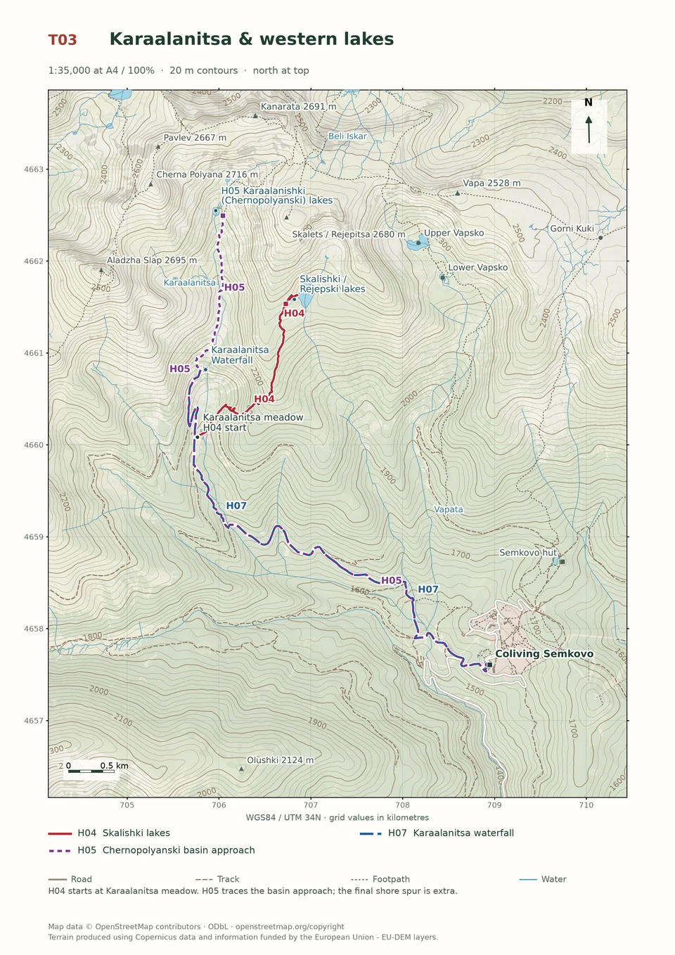
View route and mapA demanding circuit links Karaalanitsa Waterfall, Kanarata summit and Vapski Lakes before returning past Semkovo Hut.
Strong mountain walkers with exposed-ridge and navigation experience.
Follow the line marked H09. Loop.

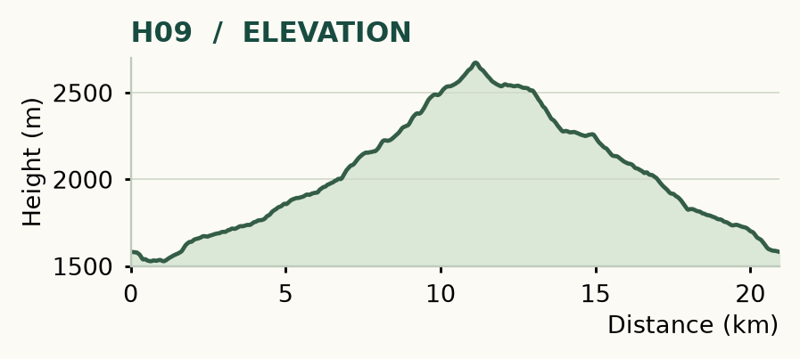
Distance and ascent above follow the mapped route using terrain-model heights. Elevation: 1528–2673 m.
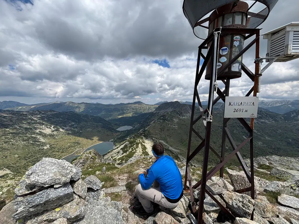
Start/finish: Coliving Semkovo. About 21 km · 1,130 m ascent · allow 7–8 hours at a strong, steady pace · demanding and exposed. Summit: 2,691 m.
Mapped profile: 20.94 km, 1,210 m terrain-model ascent. Original guide estimate: about 21 km, 1,130 m ascent. These are separately published figures; the profile uses terrain-model heights.
Complete circuit · 20.9 km. Rounded labels on the original map or profile may differ slightly. The original guide estimates are retained here for comparison; use the full figures for your chosen starting point.
Who it’s for: Expert. Strong mountain walkers with exposed-ridge and navigation experience.
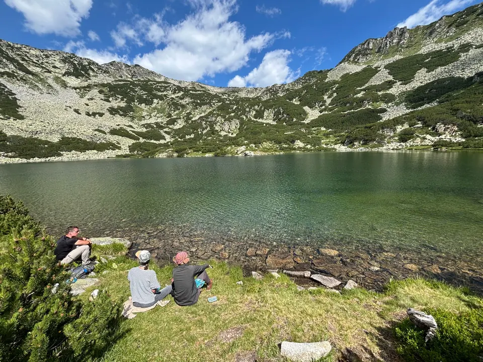
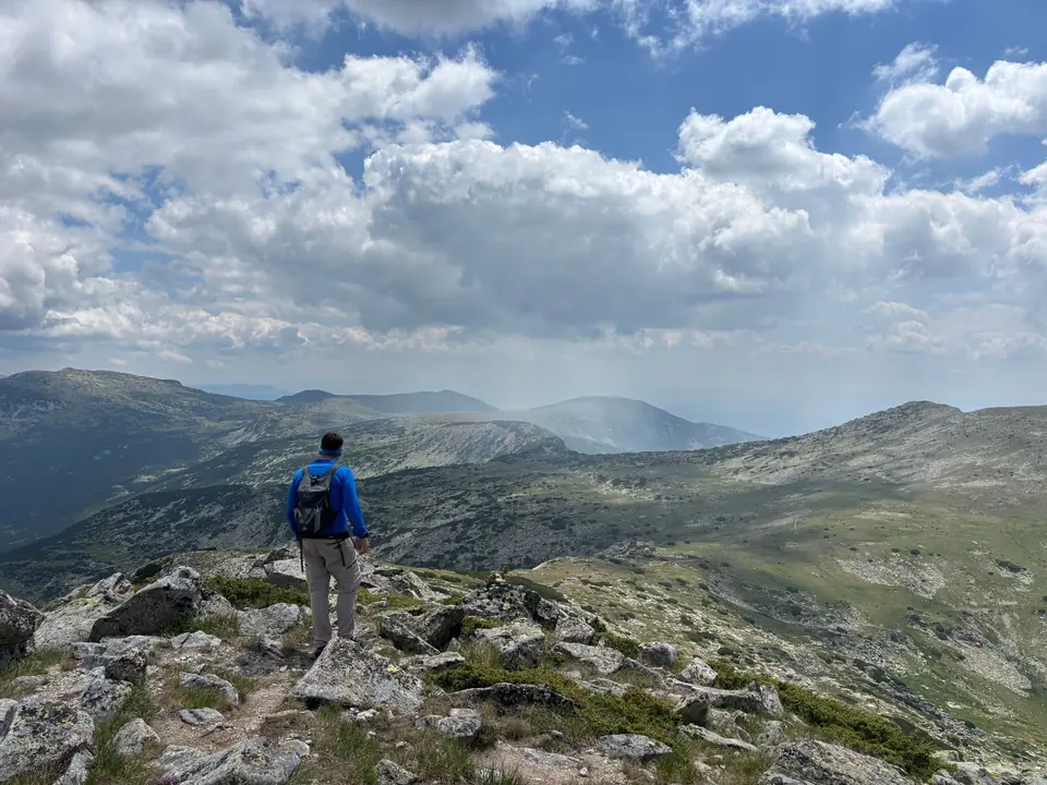
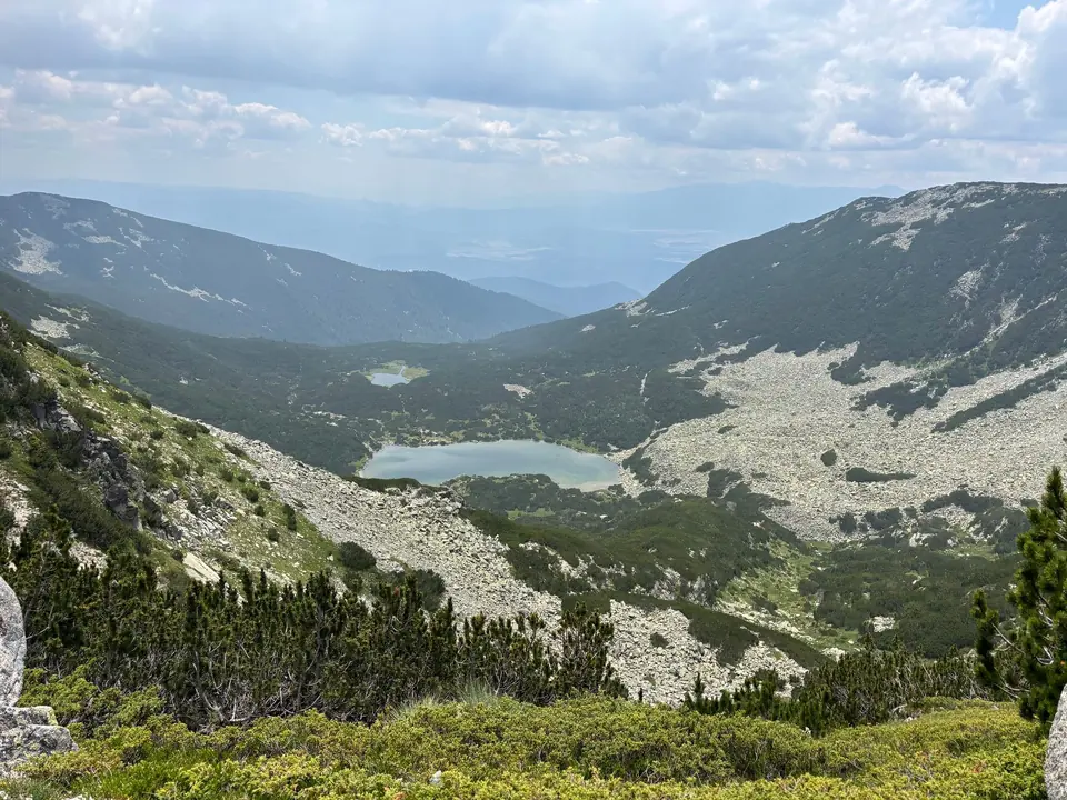
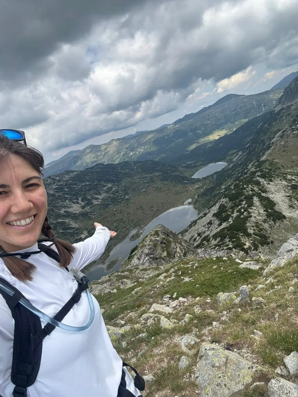
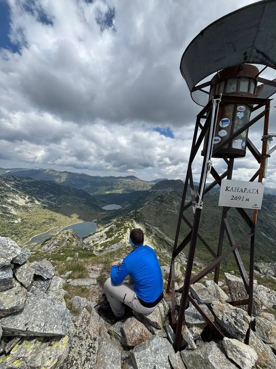
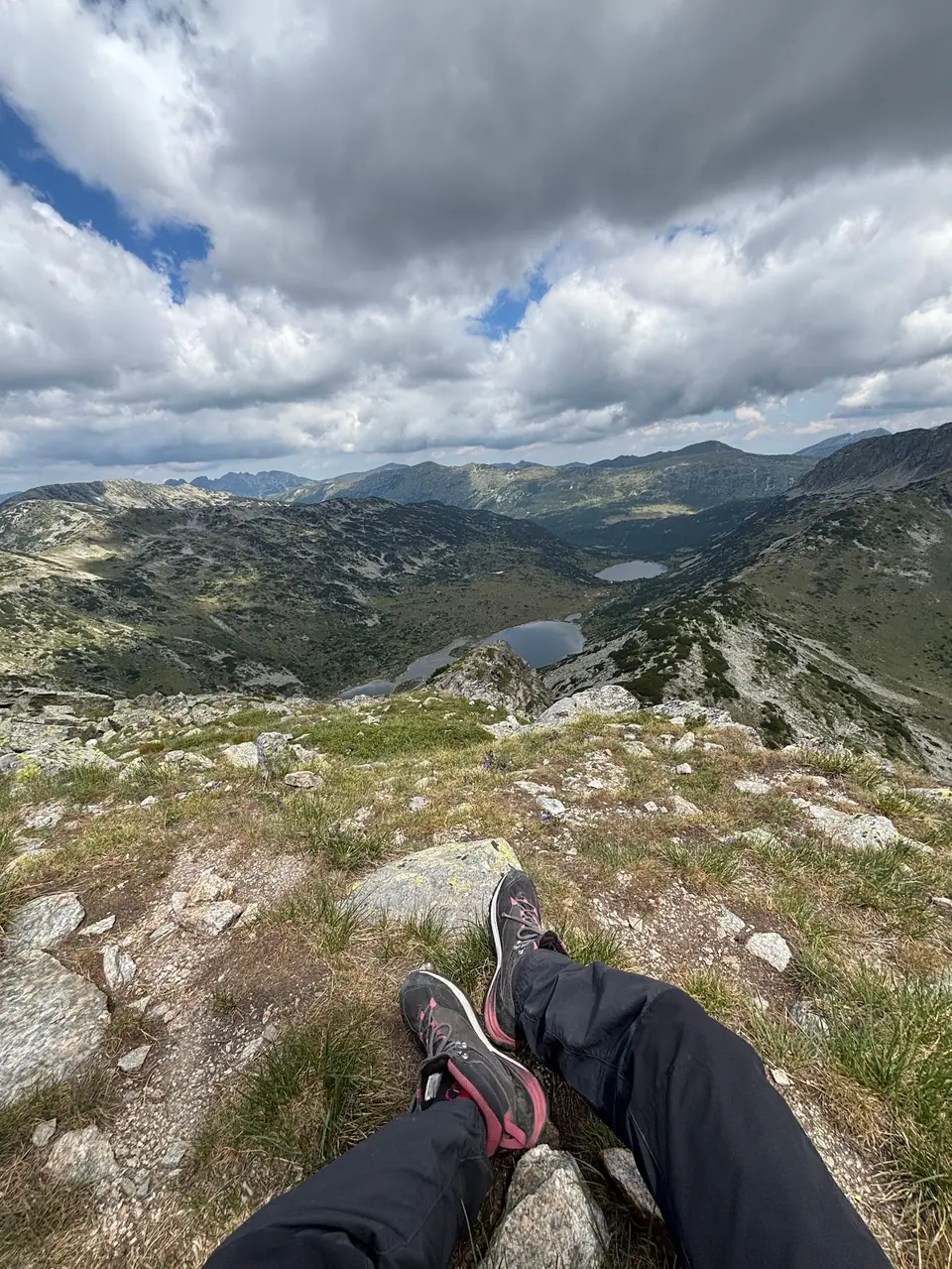
Kanarata delivers the big Rila day: forest, waterfall, high ridge and a summit panorama spread across peaks and lake basins. It also asks for fitness, confident navigation and settled weather. Put breakfast early in the diary and leave the evening free.
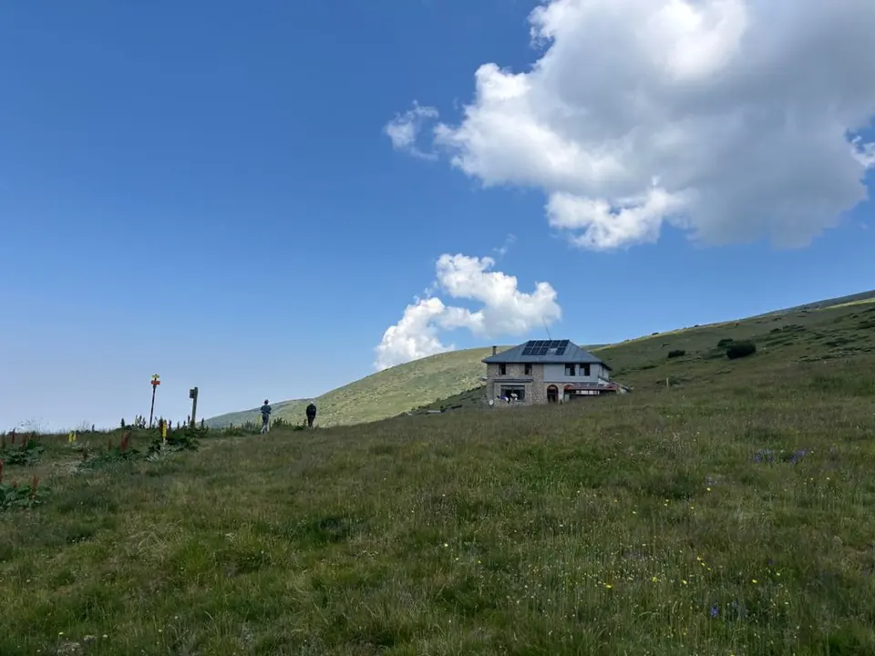
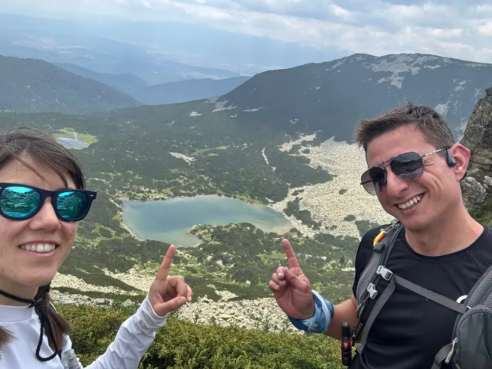
The way: take the Karaalanitsa Waterfall approach, continue up to the ridge, then climb for roughly another 20 minutes to the summit. A return through Vapski Lakes makes a varied circuit before descending past Semkovo Hut to Coliving. Decide that full circuit before departure; the lake return needs as much attention as the ascent.
The early path can be hard to locate. Once on the ridge the walking may feel easier, but exposure, fatigue and a long descent remain. If you are unsure of the ascent line, go with a mountain guide. This is a poor place to discover how you navigate in cloud.
Experienced · H08
6–8 hours
16.7 km · ↑ 800 m · Return walk
From Coliving Semkovo
Fit hillwalkers able to manage a long day and steep final climb.
View route and mapExperienced · H03
6–7 hours
15.4 km · ↑ 750 m · Return walk
From Coliving Semkovo
Fit hillwalkers with a full day and mountain navigation skills.
View route and mapExperienced · H05
7–9 hours
17.5 km + shore spur · ↑ 870 m · Return walk
From Coliving Semkovo
Confident route-finders on rough ground and dwarf-pine paths.
View route and map