
SemkovoBulgaria’s Rila mountains

The free
Semkovo guide.

66 pages of routes, maps and local advice, ready for your phone or printer.

Enter your email and we’ll send a private download link.

We’ll email a download link for the free 66-page PDF (50 MB). The guide is yours whether or not you choose updates. How we use your email.

  • Nine mapped hikes and fourteen bike rides, with elevation profiles
  • Six classic eco-trails and the four-piste ski area
  • Resort, valley and regional maps
  • Restaurants, activity providers, transport and longer-stay advice
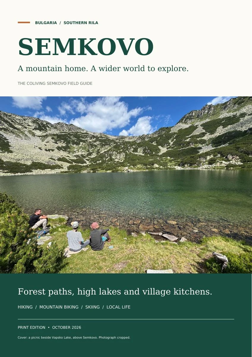
The printed Semkovo field guide cover

October 2026 edition · 66 pages · PDF · 50 MB

Inside the guide

Maps sit beside the routes. Phone numbers, starting points and practical details live on the page. Save the PDF before heading into the mountains, or print the sheets you need.

T01 / Semkovo & Suhoto lake
T01 / Semkovo & Suhoto lake · H01 reaches the hut; H02 continues to Suhoto. The lake walk is shown outward. View full map
Map data © OpenStreetMap contributors, Open Database Licence; terrain produced using Copernicus data and information funded by the European Union, EU-DEM layers
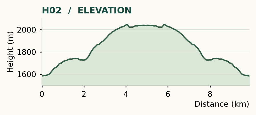
H02 elevation profile
H02 elevation profile · Return walk · 9.9 km
Terrain produced using Copernicus data and information funded by the European Union, EU-DEM layers