
Welcome to Semkovo
A small forest resort above Belitsa, with the Rila mountains on its doorstep.
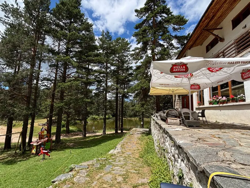
The forest has the best address in Semkovo. Spruce and pine crowd around mountain meadows; paths disappear uphill towards glacial lakes, then emerge into Rila's wide, exposed high country. Far below are village kitchens, mineral pools, old churches and a little train with no interest in hurrying. Settle into an apartment at Coliving Semkovo and give the place time: a morning at your desk, an afternoon among the trees, a whole clear day above them.
At roughly 1,600 metres, 17–18 km uphill from Belitsa, Semkovo is a scattering of mountain buildings rather than a village with a busy main street. Its pleasures are dispersed, and a little planning pays off. Shop before coming up, know where dinner is coming from, and arrange a ride home before heading into the valley. Semkovo Hut, at about 1,750 metres, is farther uphill: remember that distinction when choosing a walk.
The experiences to build a trip around
- Panoramata: a first outing for views towards Pirin and the Rhodopes.
- Vapski Lakes: forest, dwarf pine and high water under an open sky. Give this walk your best weather day.
- Suhoto Lake: a rewarding mountain bowl at a lower altitude, with a proper forest climb on the way.
- Bear Sanctuary Belitsa: rescued bears in wooded enclosures, free to forage, rest or retreat from view.
- Banya's mineral pools: warm water for legs that have done enough climbing.
- A village meal: Belitsa breads and beans, or a long, prearranged lunch in Gorno Draglishte.
- The narrow-gauge railway: an outing in which the journey deserves the whole afternoon.
- A working week in the forest: your Coliving apartment, shared workspaces and a familiar path after the final call.
A resort with a different backstory
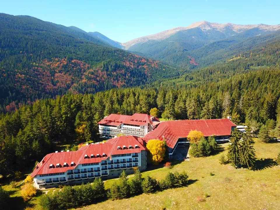
Semkovo grew around university recreation and sport. Teachers and students began building the Technical University base in 1962–63; the architecture and civil-engineering university followed later in the decade. Formal resort status arrived in 1976. The institutional lodges, student groups and ski slopes still make more sense with that history in mind.
The former Hotel Rila has a new life as Coliving Semkovo, an operational cooperative community with apartments to rent. It is the home and work base for this guide. The university bases, Bor and Sveta Gora help you find your bearings around the resort; the hut marks the next step uphill.
Find your bearings
Belitsa and the railway lie downhill; the lakes and ridges rise above the resort. Banya, Dobarsko and Gorno Draglishte make easy valley outings; Bansko adds old-town lanes. Rila Monastery needs a longer journey around the mountain's western side.
The resort map puts Coliving, local places to eat and the main buildings on one sheet. Use the numbered landmarks to get your bearings, then follow the blue dashed H01 line for the walk to Semkovo Hut.


Find a walk, then find its map
Walking routes carry H-numbers and bike rides B-numbers. Each route card points to a T-number on a map beside the relevant walk or group of rides. Those sheets show the route against contours, paths, roads and watercourses, with a north arrow and scale bar. The route descriptions give the starting point, the landmarks to follow and the return arrangements.
Contours join places at the same height: close lines mean a steep slope; widely spaced lines mean gentler ground. Check the contour interval printed on each sheet. A kilometre uphill can take much longer than a kilometre along a forest road, and the ridges offer little shelter when weather moves in.
On the maps, use the route number as well as its colour. Keep track of your last known junction, especially where forestry tracks branch. Match paths with the shape of the ground; don't push straight towards a destination when the trail bends around a ravine. On the high routes, carry a compass and know how to use it. Use the PDF guide for maps at their intended print scale.
