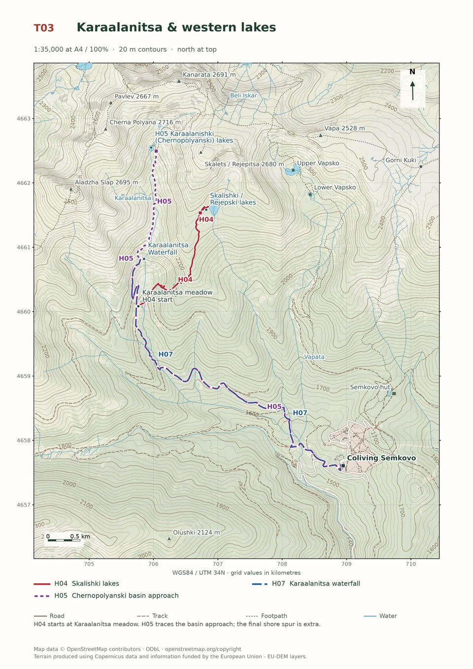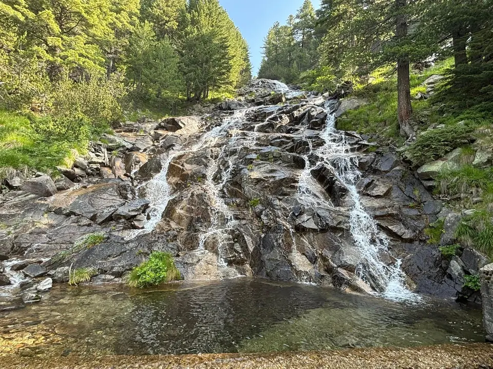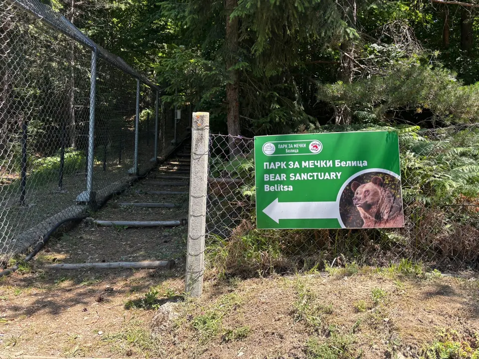
Medium · H06
Walk to Bear Park
2½–3 hours
9.4 km · ↑ 350 m · One way
From Coliving Semkovo
Regular walkers comfortable with a long descent; arrange a pickup.
View route and mapFollow the resort roads to Semkovo Hut and its pond, then return the same way through the forest.
A first forest walk; gentle pace and basic walking fitness.
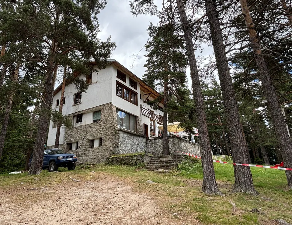
Follow the line marked H01. Return walk.

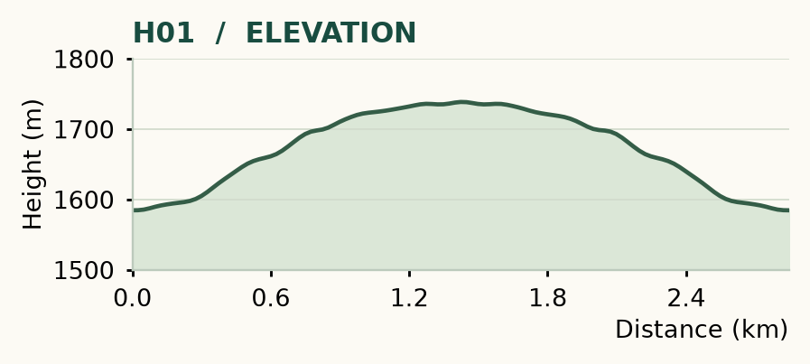
Distance and ascent above follow the mapped route using terrain-model heights. Elevation: 1585–1739 m.
Start/finish: Coliving Semkovo. About 3 km return · 140 m ascent · 1 hour walking · easy forest approach.
Mapped profile: 2.85 km, 160 m terrain-model ascent. Original guide estimate: about 3 km return, 140 m ascent. These are separately published figures; the profile uses terrain-model heights.
Return walk · 2.8 km. Rounded labels on the original map or profile may differ slightly. The original guide estimates are retained here for comparison; use the full figures for your chosen starting point.
Who it’s for: Easy. A first forest walk; gentle pace and basic walking fitness.
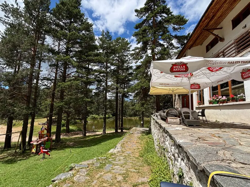
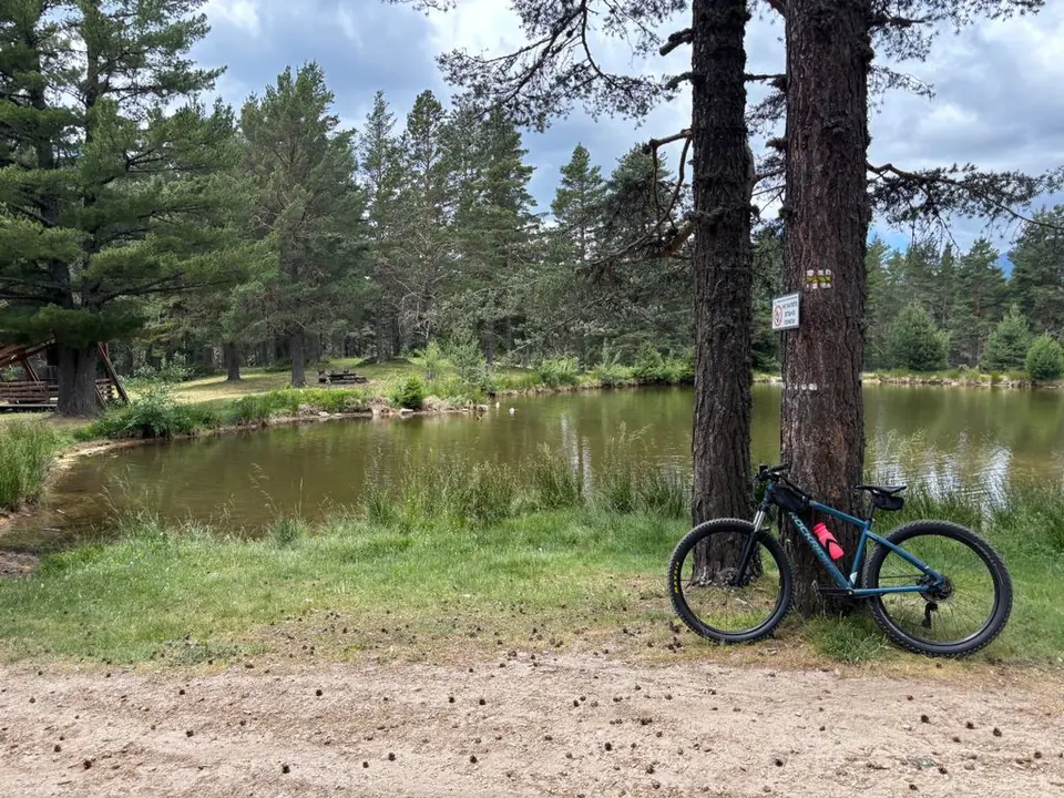
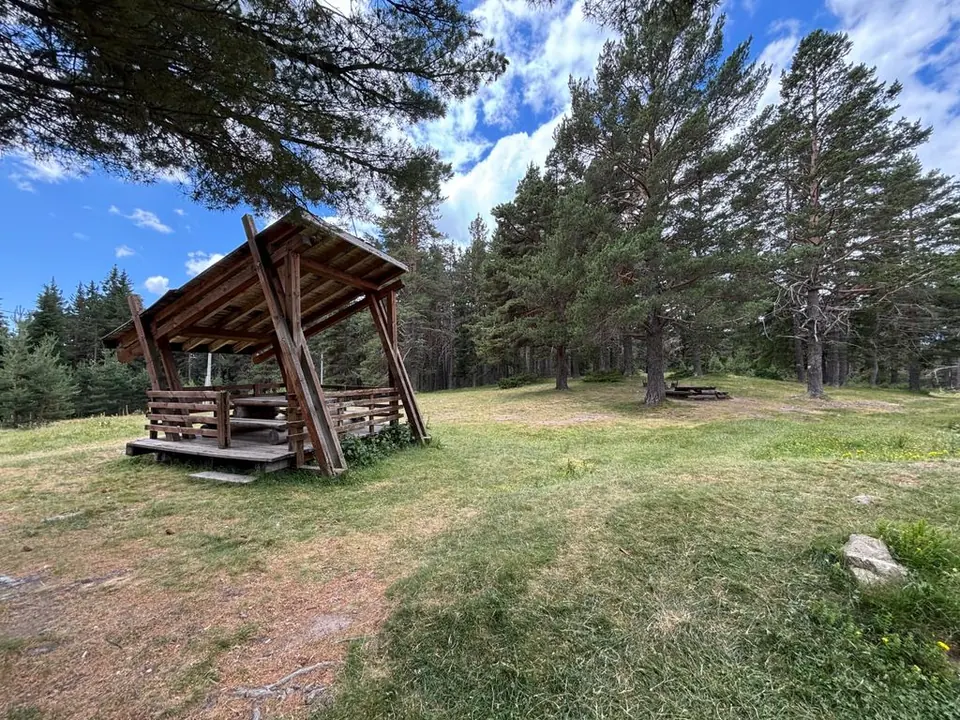
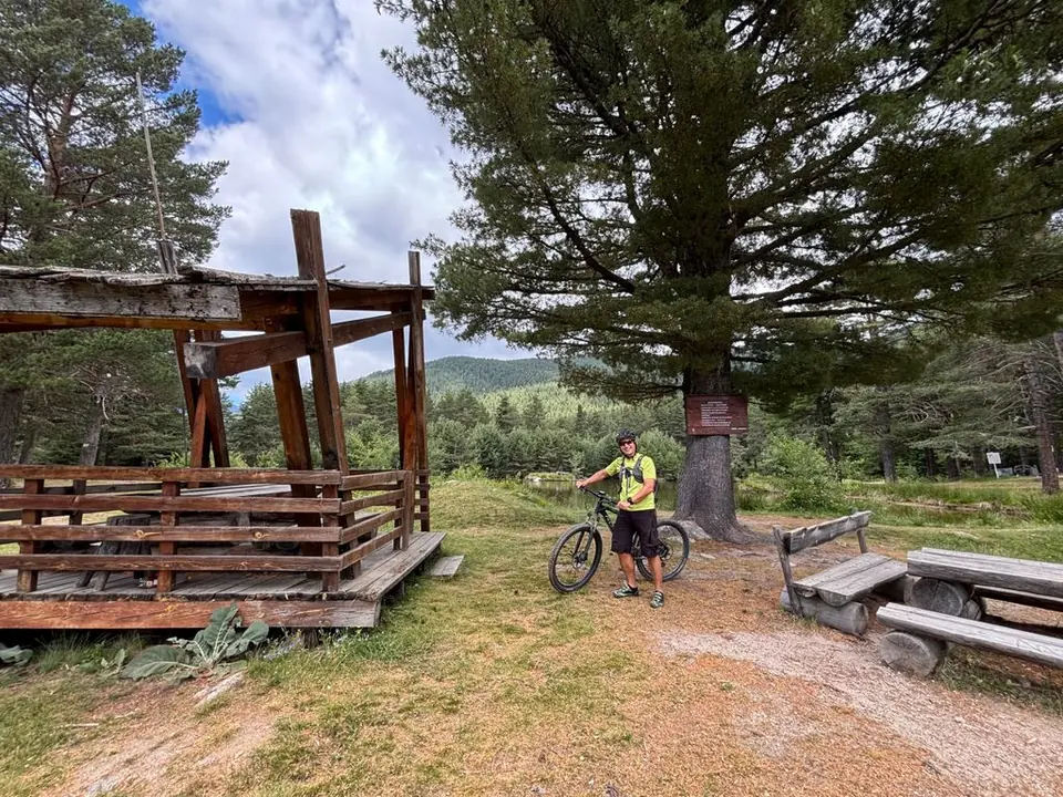
Follow the resort roads uphill towards Semkovo Hut, walk to the pond and return the same way. This is the walk for an arrival afternoon, an hour between calls or a picnic that lasts longer than the exercise. Wooden shelters give you somewhere to spread out lunch, and the forest starts doing its work almost as soon as you leave the building.
The road approach is about 1.6 km each way; the shorter walking plan is roughly 3 km in total. Both end at the hut area. Cars can reach the hut, so expect company on summer weekends. Bring your own refreshments unless you have arranged a meal: the kitchen does not serve reliably every day. This is also the departure point for H02 and H03.
Medium · H06
2½–3 hours
9.4 km · ↑ 350 m · One way
From Coliving Semkovo
Regular walkers comfortable with a long descent; arrange a pickup.
View route and mapExperienced · H04
3½–4 hours; access extra
6.1 km · ↑ 520 m · Return walk
From Karaalanitsa meadow · transport to the start
Confident mountain walkers on steep, faint paths; road access is extra.
View route and mapMedium · H07
Around 5 hours walking
13.6 km · ↑ 570 m · Return walk
From Coliving Semkovo
Regular walkers who can sustain a five-hour forest-road day.
View route and map