Medium · H02
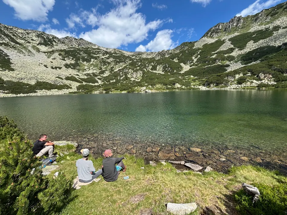
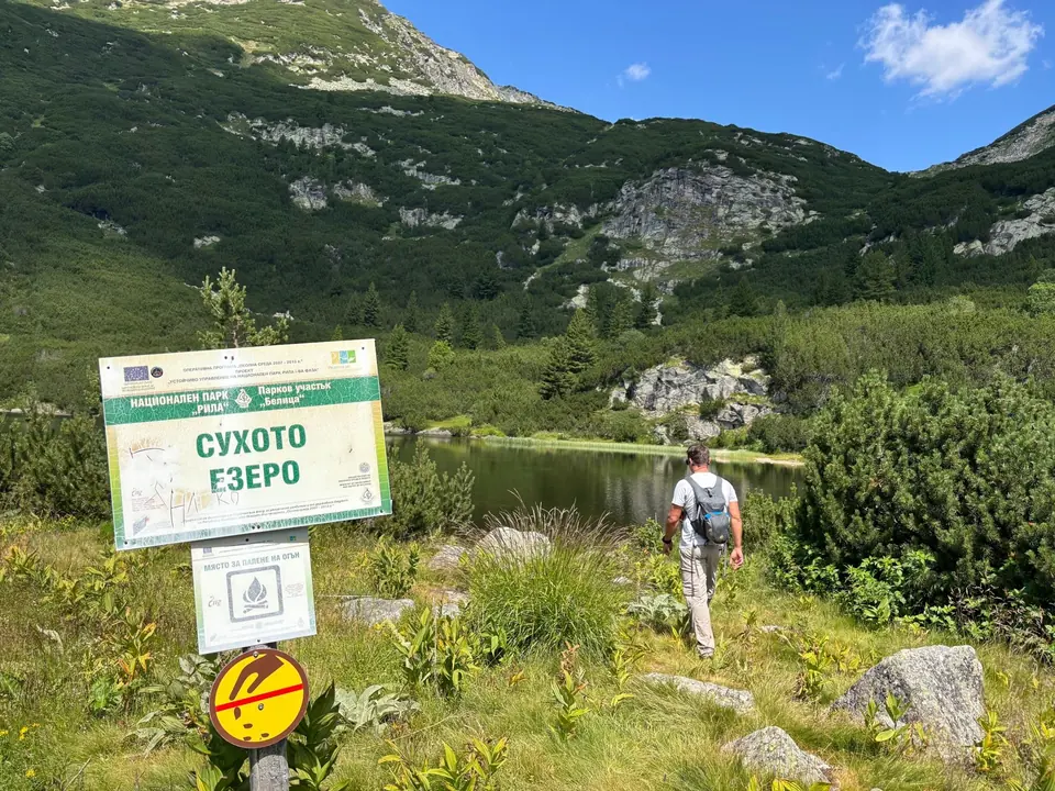
Suhoto Lake
4–6 hours
9.9 km · ↑ 540 m · Return walk
From Coliving Semkovo
Regular walkers comfortable with a steep forest climb.
View route and mapFollow forest roads to Karaalanitsa and finish with the climb to its waterfall before returning to Coliving.
Regular walkers who can sustain a five-hour forest-road day.
Follow the line marked H07. Return walk.

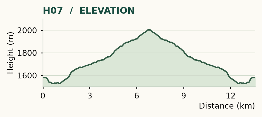
Distance and ascent above follow the mapped route using terrain-model heights. Elevation: 1528–2003 m.
Start/finish: Coliving Semkovo. About 7 km each way · 450 m ascent outward · around 5 hours walking return · moderate, mostly dirt road.
Mapped profile: 13.58 km, 570 m terrain-model ascent. Original guide estimate: about 7 km each way, 450 m ascent outward. The profile covers the full return walk, while the guide’s ascent figure describes the outward leg.
Return walk · 13.6 km. Rounded labels on the original map or profile may differ slightly. The original guide estimates are retained here for comparison; use the full figures for your chosen starting point.
Who it’s for: Medium. Regular walkers who can sustain a five-hour forest-road day.
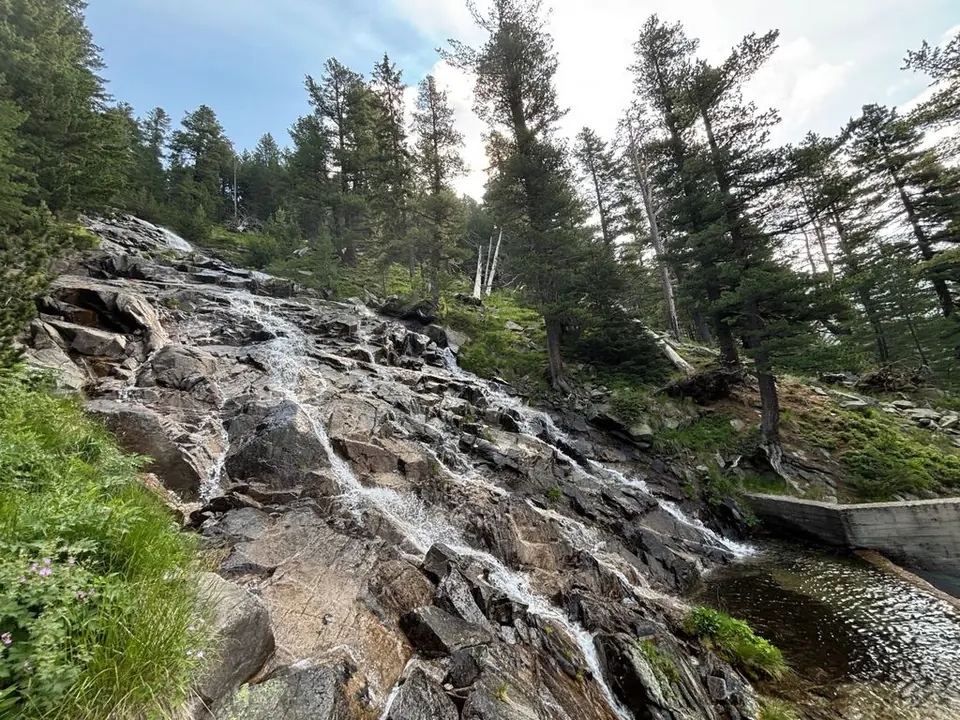
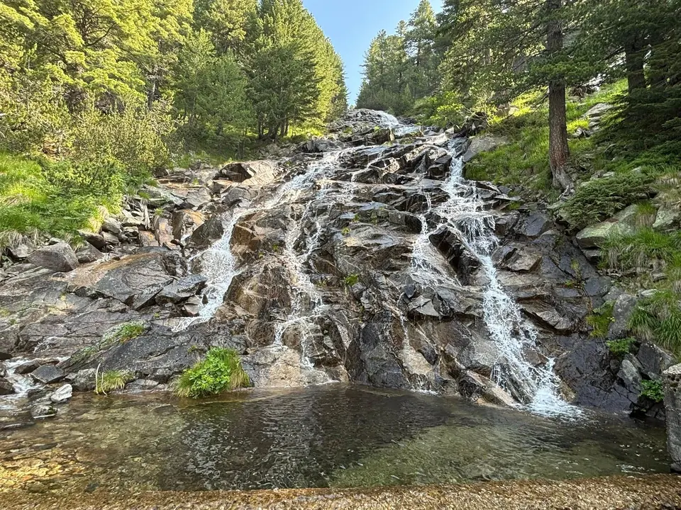
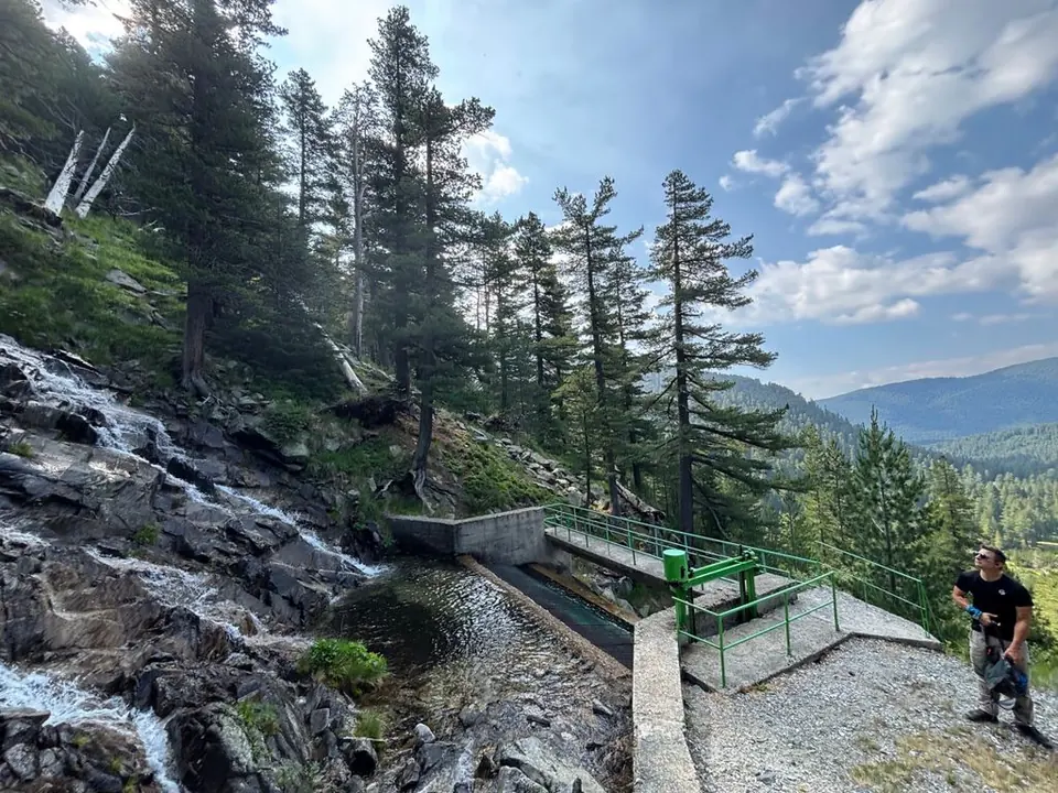
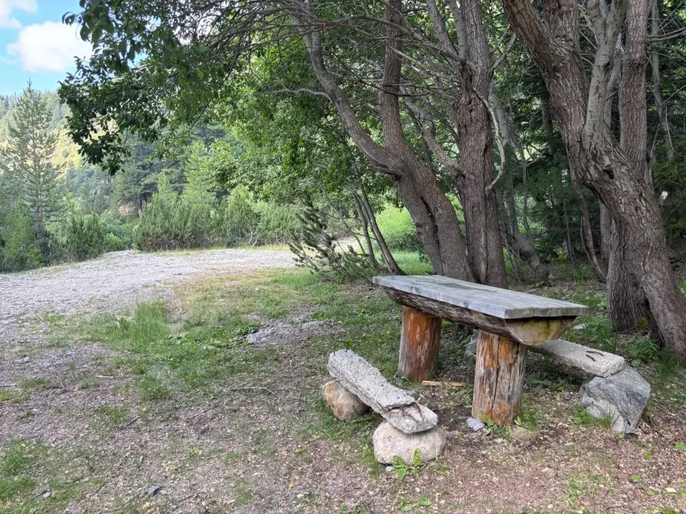
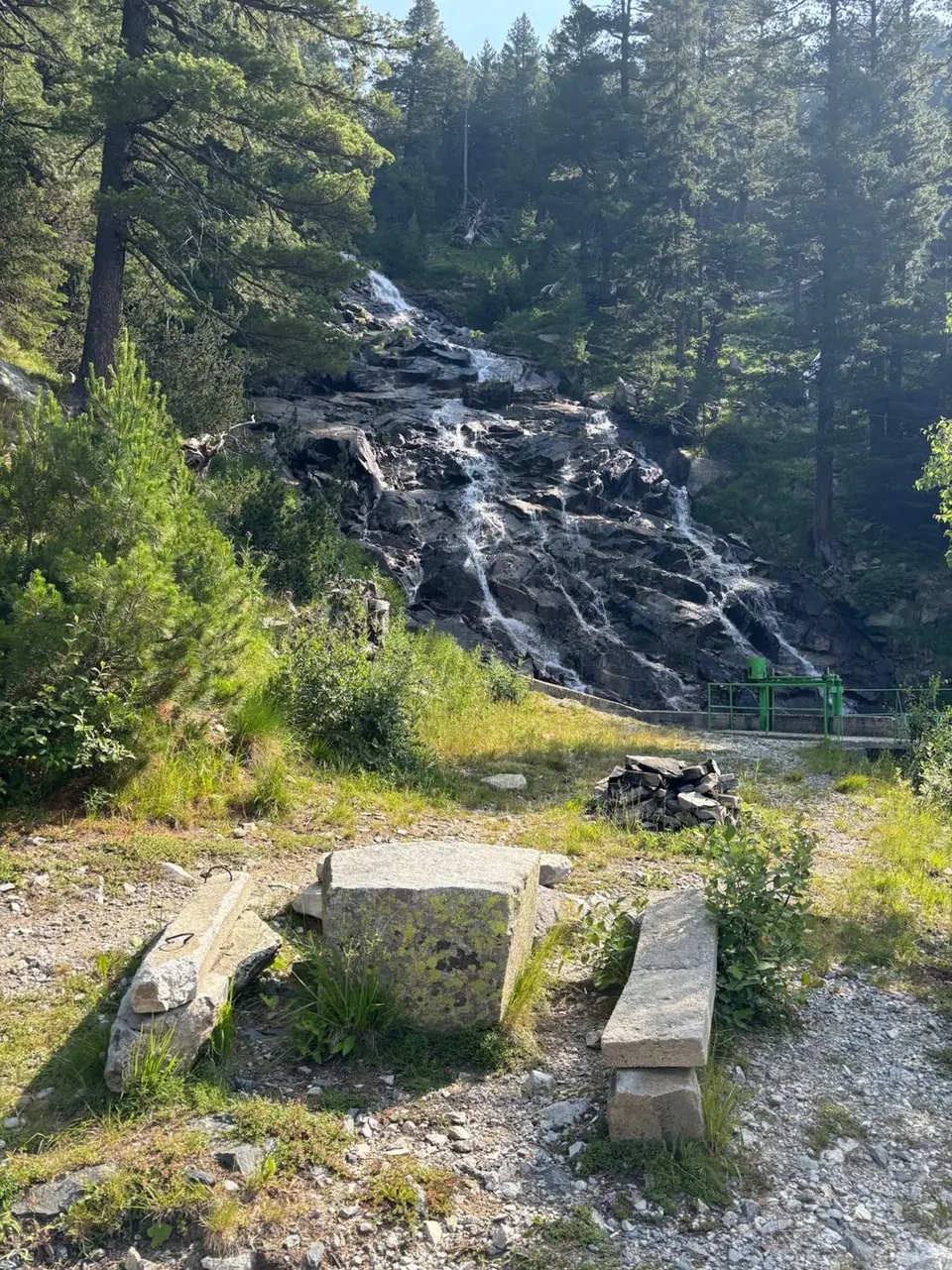
The temptation is to stop too soon. Benches and tables near disused buildings make a good shaded break, and you can already hear the water. The waterfall itself lies farther up: save a little energy for the final climb.
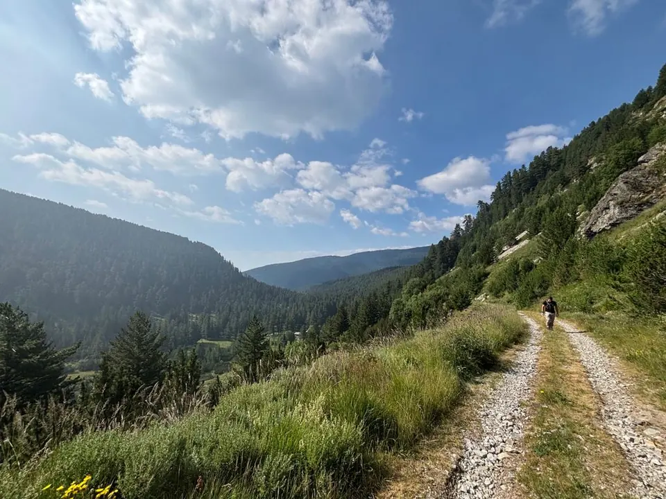
The way: follow the dirt-road approach into Karaalanitsa, using established forest shortcuts only where they match the route. At the picnic area by the old buildings, continue uphill along the road, take the first right, and climb for roughly 20 minutes to the cascade. Return the same way.
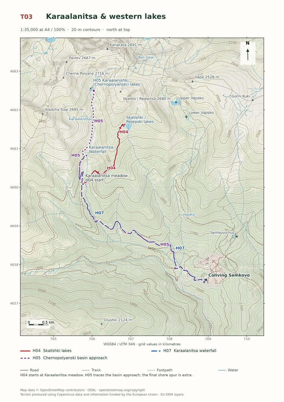
A shorter Semkovo-start variation follows the Vapska and Karaalanishka river approach: 6.07 km one way, 428 m ascent and about 2 hours 15 minutes outward. The starting point and line differ from the Coliving walk. Neither figure includes a trip onward to the high lakes. Watch your footing near wet rocks and leave enough daylight for the return road.
Medium · H02
4–6 hours
9.9 km · ↑ 540 m · Return walk
From Coliving Semkovo
Regular walkers comfortable with a steep forest climb.
View route and mapExperienced · H04
3½–4 hours; access extra
6.1 km · ↑ 520 m · Return walk
From Karaalanitsa meadow · transport to the start
Confident mountain walkers on steep, faint paths; road access is extra.
View route and mapExperienced · H03
6–7 hours
15.4 km · ↑ 750 m · Return walk
From Coliving Semkovo
Fit hillwalkers with a full day and mountain navigation skills.
View route and map