Experienced · H03
Vapski Lakes
6–7 hours
15.4 km · ↑ 750 m · Return walk
From Coliving Semkovo
Fit hillwalkers with a full day and mountain navigation skills.
View route and mapA steep forest climb via Semkovo Hut leads to Suhoto Lake, with a return along the same path.
Regular walkers comfortable with a steep forest climb.
Follow the line marked H02. Return walk.

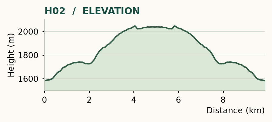
Distance and ascent above follow the mapped route using terrain-model heights. Elevation: 1583–2046 m.
Start/finish: Coliving Semkovo. Around 10 km return · 470 m ascent · allow 4–6 hours · moderate, with a steep forest climb. From Semkovo Hut, the separate path is 4.03 km each way, about 8.1 km return; a steady walk takes roughly 1 hour 40 minutes up and 1 hour 30 minutes down.
Mapped profile: 9.88 km, 540 m terrain-model ascent. Original guide estimate: around 10 km return, 470 m ascent. These are separately published figures; the profile uses terrain-model heights.
Return walk · 9.9 km. Rounded labels on the original map or profile may differ slightly. The original guide estimates are retained here for comparison; use the full figures for your chosen starting point.
Who it’s for: Medium. Regular walkers comfortable with a steep forest climb.
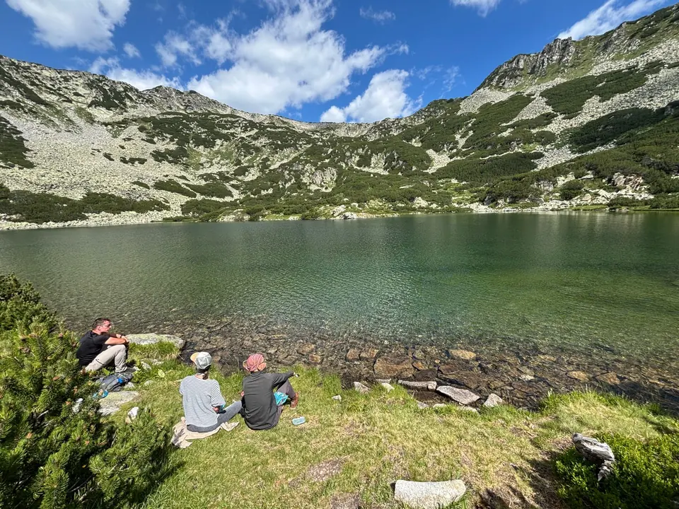
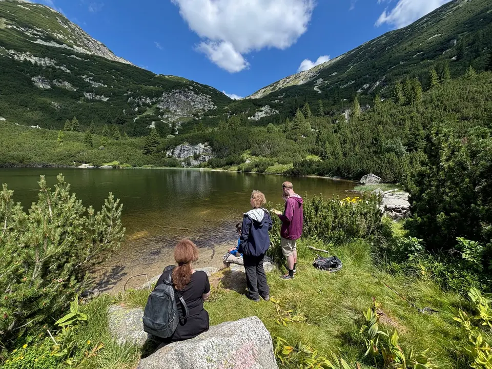
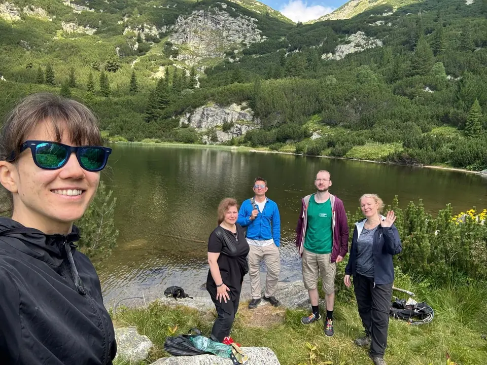
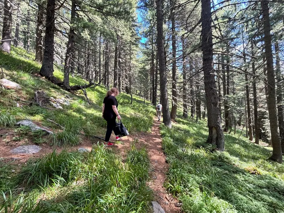
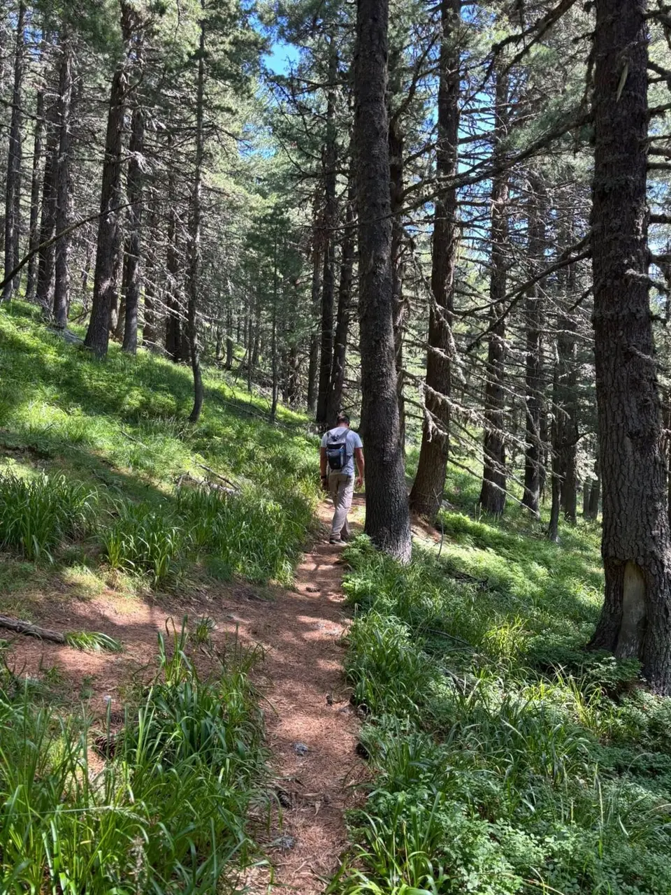
Suhoto makes you earn the opening view. For the first 30–40 minutes above the hut, the forest path climbs hard; then the slope eases and the walk settles into a quieter rhythm. The lake sits in a broad mountain bowl, an excellent place to unpack lunch and give your legs a holiday.
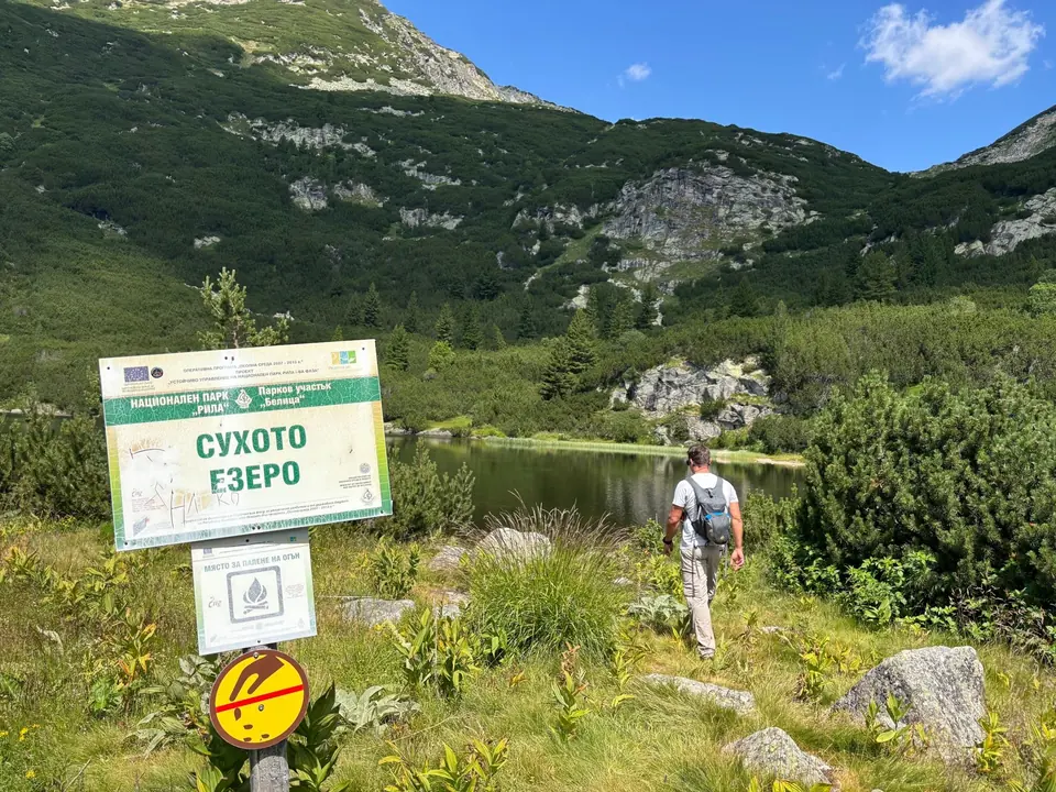
The way: reach Semkovo Hut, pass the fountain and park information boards, then follow the signed left turn into the forest. A steep gully leads to another signed left. At Lopatitsa clearing, take the left-hand lake branch. Beyond the half-hour sign, look for a small cairn and turn right; the straight continuation grows over. Cross two streams on the final approach to the lake.
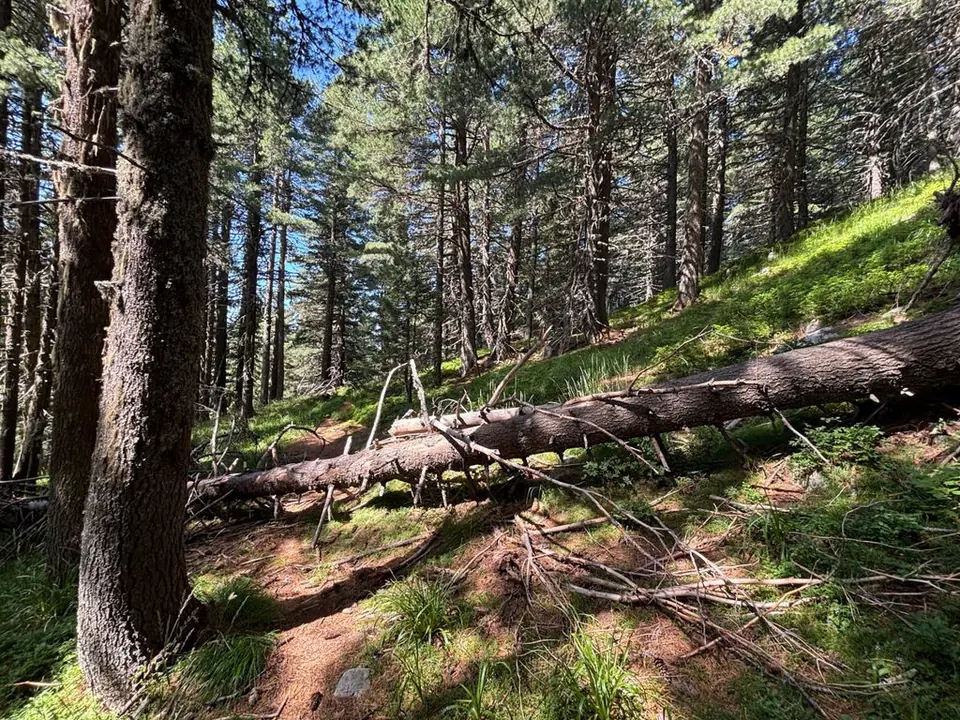
For the simplest return, retrace the outward path. Other return lines exist, but do not improvise a circuit at an unsigned fork. Wet roots, the steep gully and the stream crossings deserve care after rain. Keep track of the forks on the way up: they look different when you are coming down.
Experienced · H03
6–7 hours
15.4 km · ↑ 750 m · Return walk
From Coliving Semkovo
Fit hillwalkers with a full day and mountain navigation skills.
View route and mapMedium · H07
Around 5 hours walking
13.6 km · ↑ 570 m · Return walk
From Coliving Semkovo
Regular walkers who can sustain a five-hour forest-road day.
View route and mapExperienced · H04
3½–4 hours; access extra
6.1 km · ↑ 520 m · Return walk
From Karaalanitsa meadow · transport to the start
Confident mountain walkers on steep, faint paths; road access is extra.
View route and map