
Six eco-trails around Semkovo
Ancient woodland, peat bogs, glacial lakes and the wooded hills above Belitsa. Choose the named trail, then follow its specific start and landmark sequence.
The eco-trails tell six different stories about the same mountain: ancient woodland, peat bogs, glacial lakes, bears, plants and butterflies. Two follow the lake walks also covered by the mapped hike guides. The others use named forest localities; carry the sequence below and look for the Bulgarian names on the trail signs. Distances between landmarks are walking legs, not road distances.
E01 · Temple of Eternity
Medium · 7 km to Kriva Ela, then return to Semkovo · 3½ hours to Kriva Ela. Start in Semkovo; Coliving is at 42.04276° N, 23.52458° E. This is a woodland day for regular walkers, with clearings and the abandoned settlement of Suho Selo along the way.
From the resort, follow the signs for Mratsenkovoto / Мраценковото, reaching its fountain after 0.5 km / 15 minutes. Continue to Vasyovets / Васьовец (2.5 km / 1¼ hours), Suho Selo / Сухо село (2 km / 1 hour), Prichkapova Livada / Причкапова ливада (1 km / 30 minutes) and Kriva Ela / Крива ела (1 km / 30 minutes). At Kriva Ela take the signed return towards Semkovo. The separate 8.55 km Vasyovets–Suho Selo–Kriva Ela circuit above is a shorter related walk, not a distance to apply to every branch of this trail.
E02 · Charm of the Peat Bog
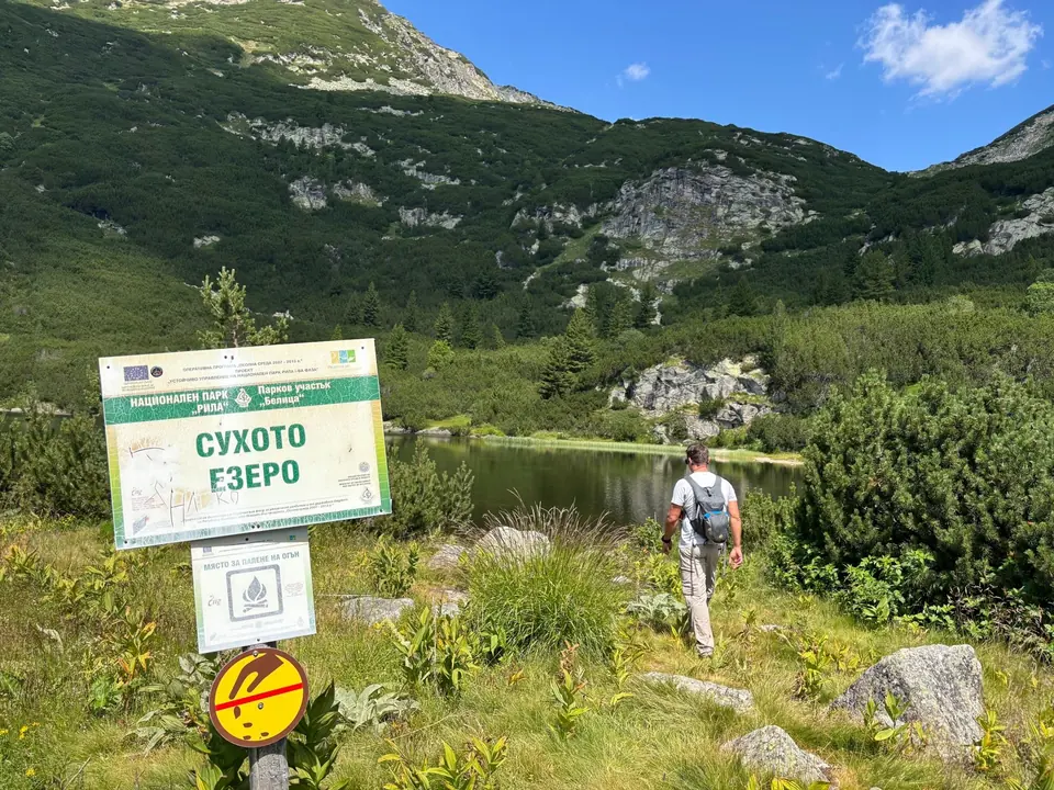
Medium · around 10 km return · 4–6 hours. This is H02 to Suhoto Lake: use its directions, elevation profile and map T01. Start at Coliving, climb to Semkovo Hut, 42.05263° N, 23.53433° E, then follow the Suhoto signs through the Uplashenata Cheshma / Уплашената чешма area and upper forest. The lake lies at 42.07239° N, 23.55568° E. Return by the same approach. The wet margins are the attraction: admire the peatland from the path rather than trampling a new line across it.
E03 · Traces of the Glacier
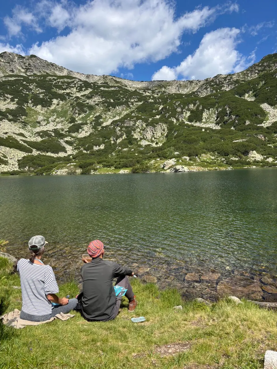
Experienced · 15–15.5 km return · 6–7 hours. Follow H03 to Vapski Lakes, with its profile and map T02. The route runs Coliving → Semkovo Hut → Vapa canton → lower Vapsko → upper Vapsko, then returns the same way. The upper lake, 42.08425° N, 23.51686° E, is the turnaround. This is a full mountain day for fit walkers: the open basins and dwarf-pine approaches deserve time, good weather and a picnic.
E04 · Lord of the Mountains
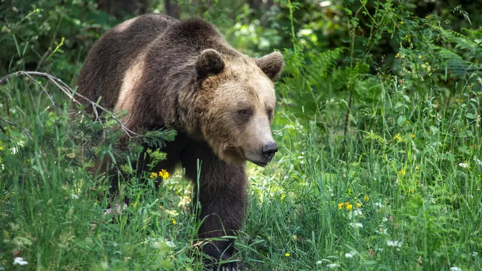
Medium · 14 km one way · about 4 hours to Yavorovo. Start in Semkovo and follow the forest trail towards Valcha Polyana / Вълча поляна (2 km / 30 minutes). Continue to Stankova Reka / Станкова река (3 km / 1 hour), then Bear Park (6 km / 2 hours). The final leg reaches Yavorovo / Яворово (3 km / 30 minutes).
For the easiest transport plan, finish at Bear Park, 42.03154° N, 23.58231° E, after 11 km / about 3½ hours, and book a collection there. If you walk the last three kilometres to Yavorovo, agree the meeting point first. H06 and map T06, show a separate, shorter Coliving–Bear Park route: useful for the destination, but not the same line as this classic eco-trail.
E05 · Guardian of Life
Medium · 12 km circuit · about 4 hours. Transfer to the Bear Park entrance, 42.03154° N, 23.58231° E. The walk explores the surrounding forest outside the sanctuary enclosure; allow park-visiting time separately.
Follow the signed eco-trail towards Gradinska Reka / Градинска река (4 km / 1 hour), then Toritsi / Торици (2 km / 1 hour). Continue to Izgoreliyat Bor / Изгорелият бор, the Burnt Pine (1 km / 15 minutes), and take the signed return branch to Bear Park (5 km / 1 hour 40 minutes). Keep that last leg in your plan: reaching the Burnt Pine completes only seven of the twelve kilometres. Arrange your pickup at the same park entrance.
E06 · Flying Flowers
Experienced · 18.3 km one way · about 7¼ hours. A long day through the wooded hills above Belitsa, for fit walkers comfortable following a sequence of forest junctions. Start at Tsarski Kladenets / Царски кладенец, on the Belitsa–Bear Park road, about 1 km beyond the St Nikola chapel when travelling uphill from town. Ask the driver for the spring, now known as Lovdzhiyska Cheshma, the hunters’ fountain. The Tsarsko Barbekyu picnic shelter is several hundred metres away; it is a different landmark.
Follow the trail to Kukuvitsa / Кукувица (1.8 km / 45 minutes), Markov Chuchur / Марков чучур (5 km / 2 hours), Temnitsko / Темницко (2.5 km / 1 hour), Zarovets / Заровец (2.5 km / 1 hour), Tsaranska Livada / Царанска ливада (2 km / 45 minutes) and Bear Park (4.5 km / 1¾ hours). Finish at the park entrance, 42.03154° N, 23.58231° E. Arrange transport at both ends, carry a full day’s food and water, and start early enough to enjoy the flower stops.
The later Earth Paradise / Zemen Ray trail connects Sinevo with Bear Park. Plan it as a Medium forest outing and obtain the current signed start and walking time locally before setting off.
Maps for the two lake trails
E02 follows the Suhoto route, H02; E03 follows Vapski Lakes, H03. The remaining eco-trails have their own landmark sequences above. Do not substitute the shorter H06 line for E04.

